Manitobans are waking up to another frigid morning, but there are signs the Arctic grip may be loosening, at least in the north.
Environment Canada has lifted extreme cold warnings for much of northern Manitoba. However, warnings remain in place for all of southern Manitoba, where a prolonged stretch of dangerous wind chills continues.
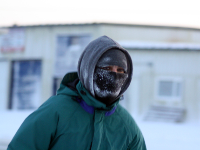
An orange-level alert remains active Sunday morning, warning of wind chill values in the –40s, with some areas briefly dipping to –50.
- Find current conditions & 7-day forecast on the Jani-King Weather Page
At 5 a.m., Wasagaming was the coldest location in the province at –42.4. Roblin registered a wind chill of –52, while Shoal Lake saw wind chills near –47. In Winnipeg, it was –36 with a wind chill of –47 at the James Richardson International Airport.
Temperatures are expected to improve slightly through the day. Winnipeg’s high is forecast near –25, with wind chills easing to around –37 this afternoon.
Environment Canada continues to advise caution during the ongoing extreme cold. Everyone is at risk, especially vulnerable populations, young children, the elderly, and those working or spending time outdoors.
Residents are urged to dress in warm, wind-resistant layers, keep emergency supplies in their vehicles, and take regular breaks to warm up if working outside. Frostbite can develop within minutes on exposed skin.
The extreme cold warning has been in place for several days as a cold and windy Arctic air mass settled over the province. While a slight moderation in temperatures is expected by Monday and Tuesday, wind chills will likely remain a factor in the early part of the week.