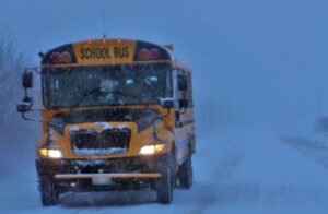

Environment Canada has issued a continued snowfall warning for western Manitoba and the Interlake throughout Thursday.
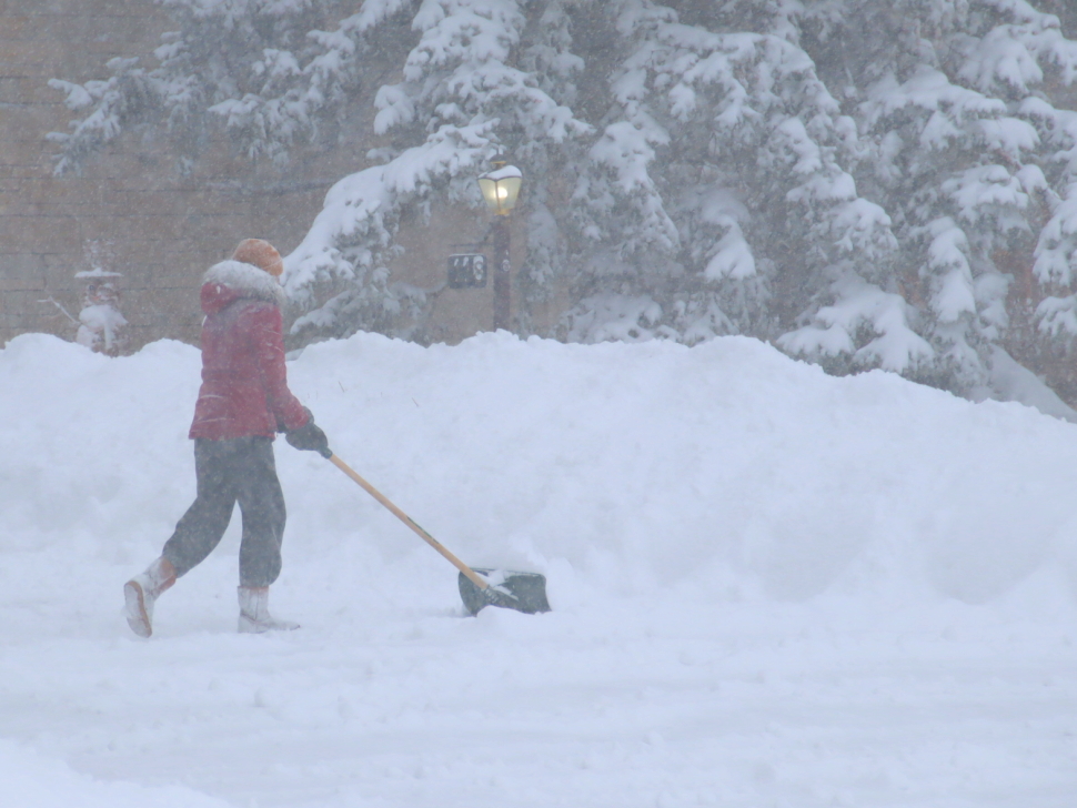
“Heavy snow has largely tapered off, but we are expecting another 2-4 cm north and west of the city throughout the day today,” says Chris Stammers, a meteorologist with Environment and Climate Change Canada (EC).
The heaviest snow has fallen along the Manitoba escarpment and the higher terrain of the parklands region.
“In terms of Winnipeg, we’ll be seeing some light snow today, tonight, and tomorrow evening. The system is going to be very slow to leave the region. We might see another couple of centimetres over the next 24 hours. But its not looking like the large amounts we were originally expecting.”
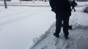
Yesterday, the snowfall ended up mostly missing Winnipeg and directly south; however, certain areas of southern Manitoba were left with a lot of snow to clean up.
“The highest amount was in the higher terrain in the Manitoba escarpment. Boissevain had about 25 cm, Morden had 18 cm, and Portage and Elie had about 15 cm. Brandon had a little less with 8 cm. Winnipeg had anywhere between two and three centimetres.”
For all the latest and up-to-date weather information, check the Jani King weather page on CHVN’s website or app.