.jpg)
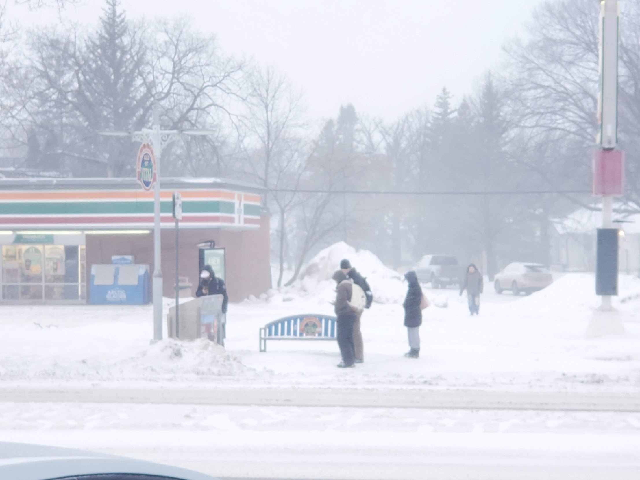
Winnipeg appears to have escaped the worst of Wednesday’s winter storm, as Environment Canada has cancelled the snowfall warning for the city and much of southeastern Manitoba.
While light snow is still expected this evening, forecasters now say Winnipeg will see just two to four additional centimetres before the system tapers off locally.
However, the storm continues to impact other parts of southern Manitoba, particularly farther west.
Heavy snowfall persists west of the city
Snowfall warnings remain in effect across western Manitoba, where significantly higher totals are still expected.
Environment Canada meteorologist Danielle Desjardins said earlier in the day that the system has been moving through the province in waves, with some communities seeing brief lulls between heavier bands of snow.
“A large portion of southern Manitoba” has been impacted, she said, with areas around Brandon and surrounding regions experiencing heavy snowfall.
Communities such as Virden continue to receive steady snow, and total accumulations in western Manitoba and the Parkland are expected to reach between 15 and 25 centimetres by the time the system weakens.
System gradually weakening
Desjardins said the bulk of the accumulation was expected Wednesday, with lighter snow continuing into Thursday as the low-pressure system slowly tracks east and weakens.
Earlier in the day, Winnipeg was forecast to receive 5 to 10 centimetres, but updated projections now show lower totals for the city as the heaviest bands remain concentrated farther west.
Warnings are expected to be pared back gradually from west to east as conditions improve.
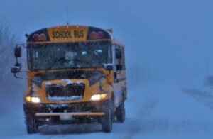
Motorists travelling outside Winnipeg, particularly toward western Manitoba, are urged to check highway conditions and use caution in areas where heavy snow and reduced visibility persist.